
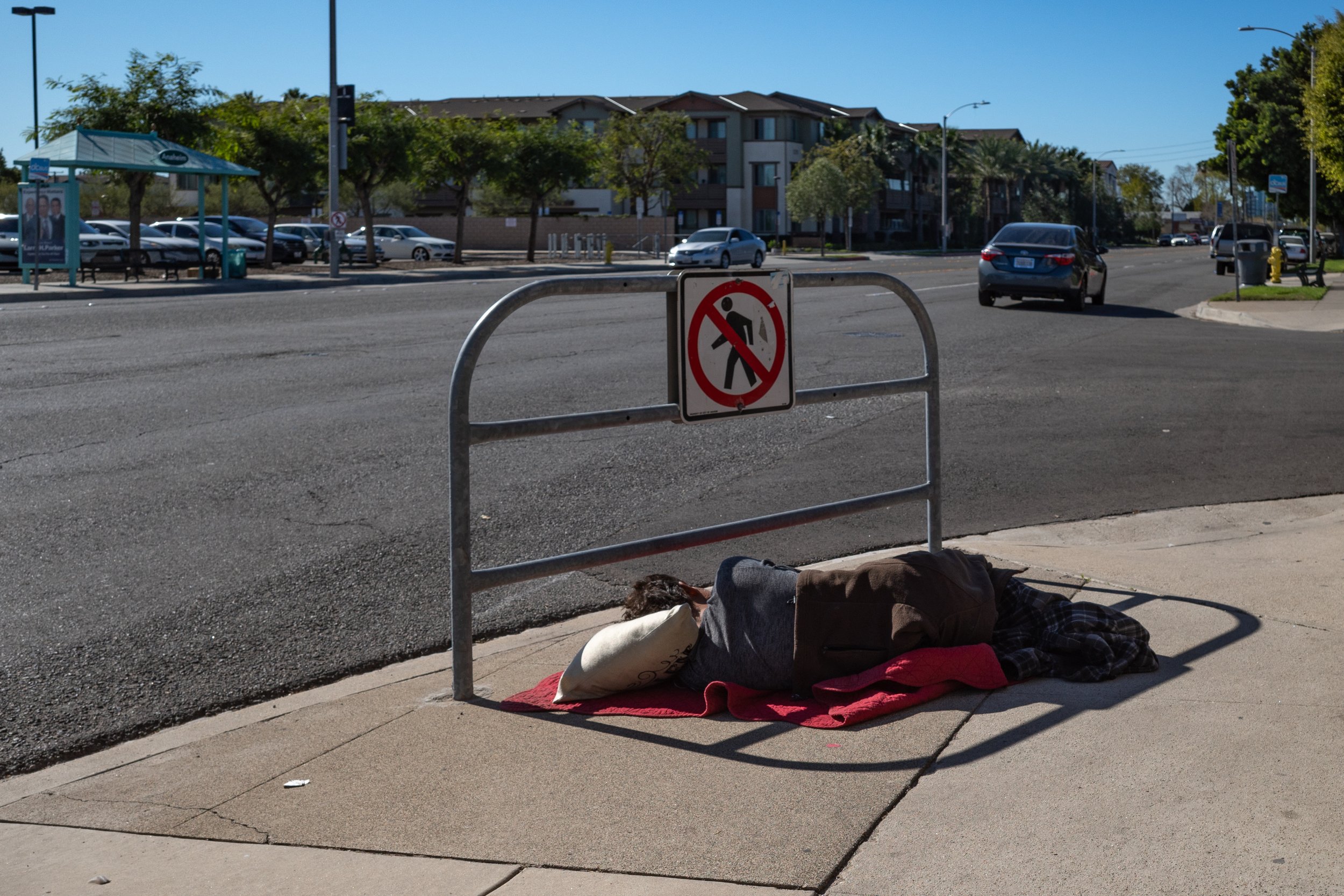
Prevent Homelessness to End Homelessness
Earlier this month, the results of the 2024 Point-in-Time Count were released for Orange County. The Point-in-Time Count, or PIT Count, is a survey of people that are homeless conducted over one night in January across the United States. The PIT Count is the most reliable way we have to know how many people in our community are living on the street or in shelters. In Orange County, the number of homeless residents ballooned to never before seen heights in 2024.
Over the past five years, the County of Orange and many cities in Orange County have had a specific focus on building shelters and permanent supportive housing to provide the necessary homes for people living on the streets. United Way of Orange County has taken a slightly different approach, where they’ve worked to place homeless households in existing homes and apartments using Housing Choice Vouchers through their United to End Homelessness program. All of these efforts are commendable and have been fairly effective on moving people from the streets into housing. There have been over 1,000 permanent supportive housing apartments built since 2019 or that are currently under construction in Orange County, and United to End Homelessness has placed hundreds more homeless individuals and families into housing. And yet, the number of homeless residents keeps growing.
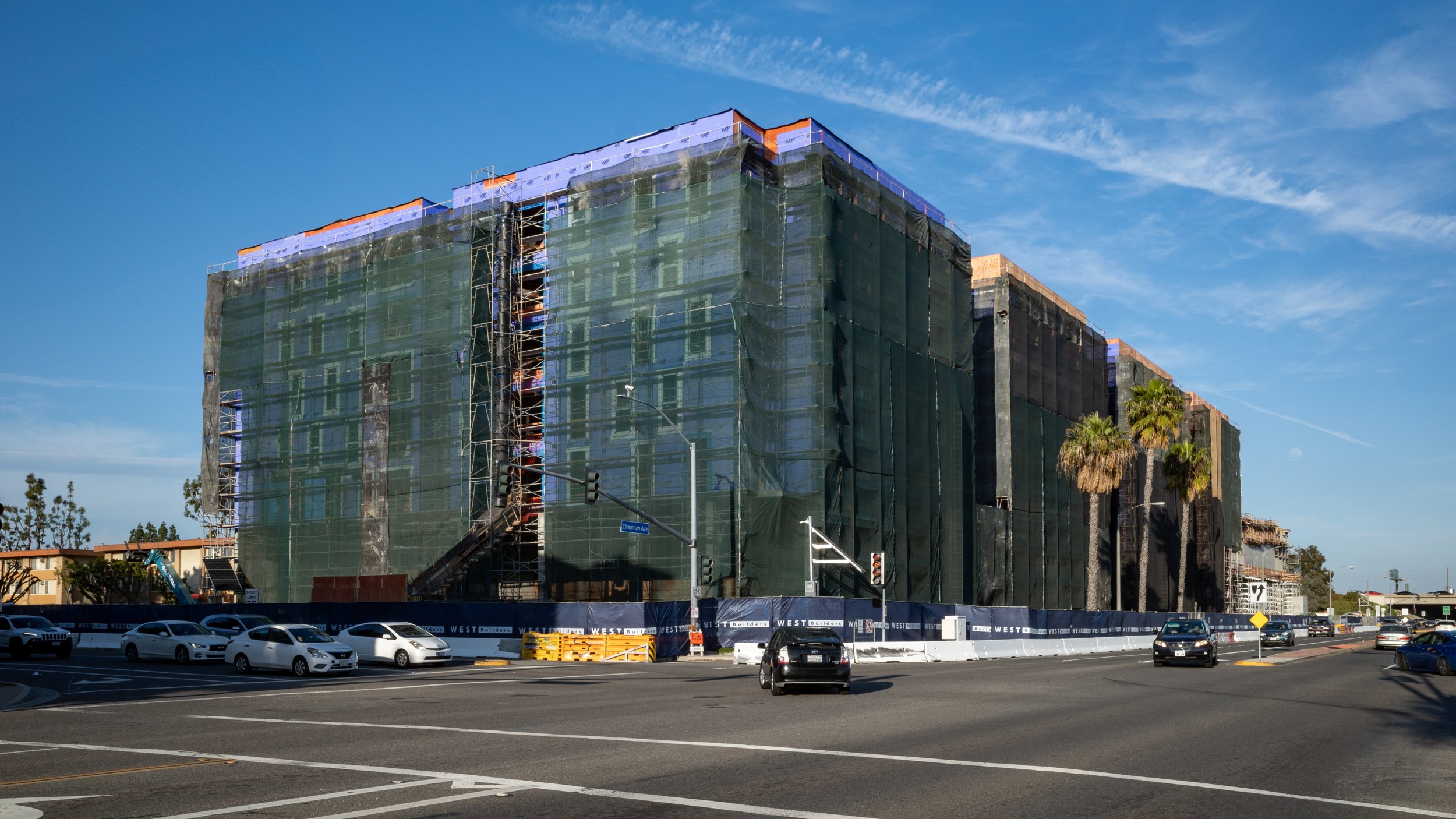
Looking Back on the Builder’s Remedy
A couple of days ago in the California Planning & Development Report, Bill Fulton asked if the window on the Builder’s Remedy is closing. He makes the case that the California Department of Housing and Community Development (HCD) is settling many of its disputes with cities like Beverley Hills and that many cities are now getting into Housing Element compliance. What an ever increasing number of cities in compliance with State housing law, the opportunity for Builder’s Remedy projects is diminishing. However, the numbers don’t quite bear that out, and it ignores the biggest affect the Builder’s Remedy had on this Housing Element cycle.
In the SCAG Region, which has been the biggest focus for Builder’s Remedy projects, there are still 56 of the 197 jurisdictions out of compliance. Of those 56, 14 have draft housing elements in review by HCD. Bill assumes that those 14 will largely be approved, but my recent experience with HCD is that they are still holding cities to the same standards that they always have. While some of those 14 housing elements will be approved on their merits, HCD will continue to have comments on many others. Given all that, there are still roughly a quarter of all jurisdictions in the SCAG Region subject to Builder’s Remedy projects.
Despite so many cities in the SCAG Region being out of housing element compliance for years at this point, there have been relatively few Builder’s Remedy projects. According to data from YIMBY Law, there have been 48 Builder’s Remedy projects in the SCAG Region. However, more than a third of those are in Santa Monica alone. The Builder’s Remedy never became a way for developers to produce large number of new homes. For many pro-housing advocates, this has been a real disappointment and great failure of the Housing Accountability Act in general and the Builder’s Remedy in particular.

Book Review: City Limits: Infrastructure, Inequity, and the Future of America’s Highways
When I wrote about the book Crossings at the end of January, I said, “the book could have been greatly expanded to talk about how the growth of road networks in our cities over the past century have transformed our cities and society.” City Limits: Infrastructure, Inequity, and the Future of America’s Highways by Megan Kimble is the follow on to Crossings that I was looking for. City Limits focuses on highway development and opposition in Houston, Dallas, and Austin. While all three of these cities are obviously in Texas, their stories are diverse enough that they can be instructive for cities outside of the Lone Star State as well.
Much of the first part of the book talks about the social ills of ever-expanding highways. This feels like old information for folks who have been interested in cities for a while, but for people just being introduced to the freeway fight this is useful background and history. This first part of the book also introduces us to many of the personal stories that will carry us throughout the book as various aspects of highway widening and the first against them are explored.
These personal stories are really the focus of the book. Sharing the lived experiences of the people in the path of highway widening is the heart of this book. These stories illustrate the real human impact of highway widening projects. In fact, these stories are such a focus that we often miss the wider perspective and data that can be useful in opposing wider freeways elsewhere.
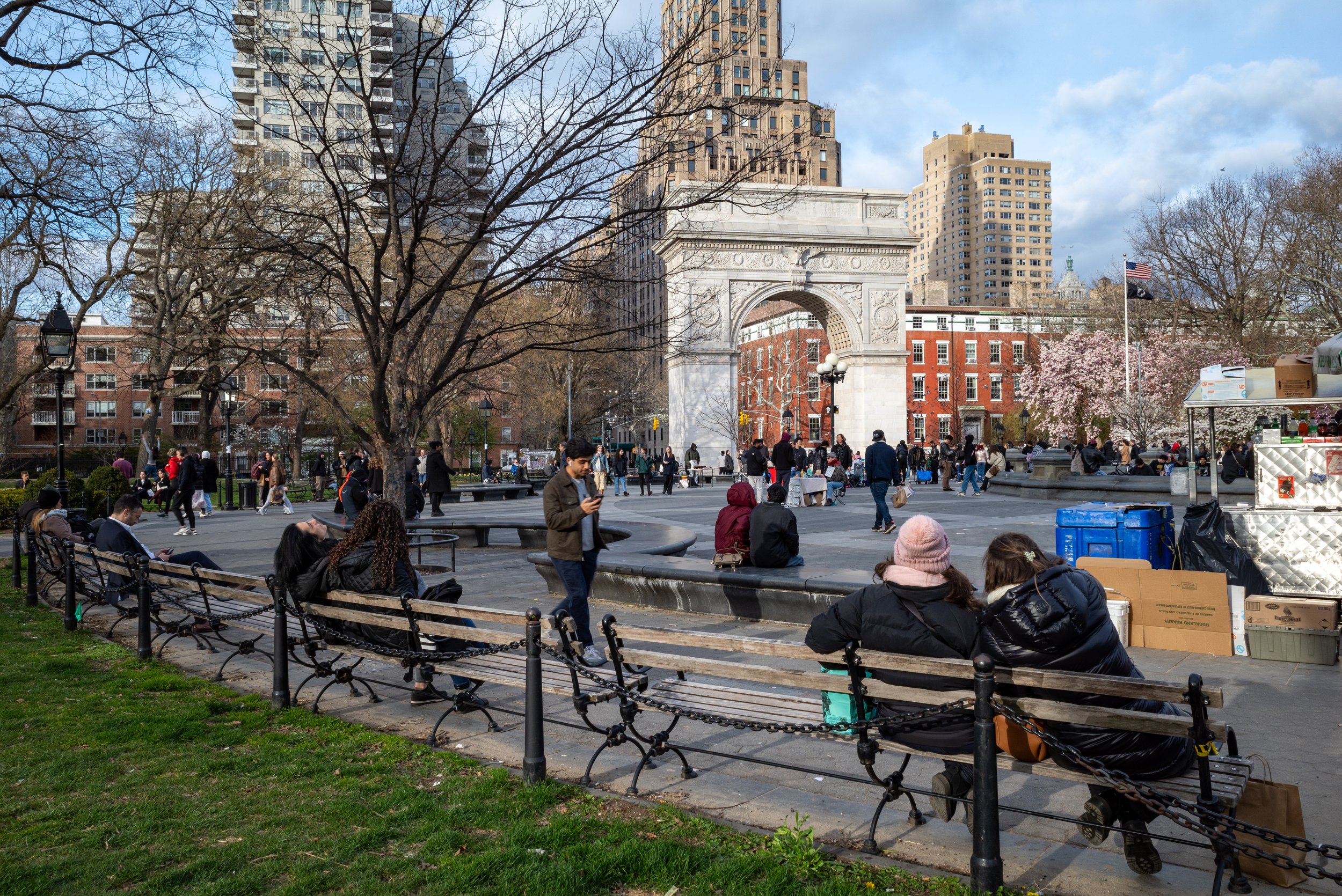
The Difference Between Private and Public Planning
Community plans written for public entities have a completely different objective and require an opposing view of cities than what is required to prepare community plans written for private developers. Too many planning consultants who have made a career out of preparing specific plans and other planning documents for private developers expect to be able to use that expertise to prepare specific plans for cities. Not only is the process different (it requires a lot more public input to prepare a plan for the public), but the entire planning philosophies underpinning each type of plan are diametrically opposed to each other.
The goal of planning for most private developers is to build a community to a finished state. At the end of the project, roads will be built to their final right-of-way width to accommodate any future growth in traffic, all of the homes will be in situated in the middle of their lots and covenants in place to prevent changes in the future, and retail centers will have their big box stores and national credit tenants in place for the next decade or more. This sells to the new residents the feeling of certainty, stability, and permanence. It also allows the developer to make their profit and walk away from the community without concern for its future.
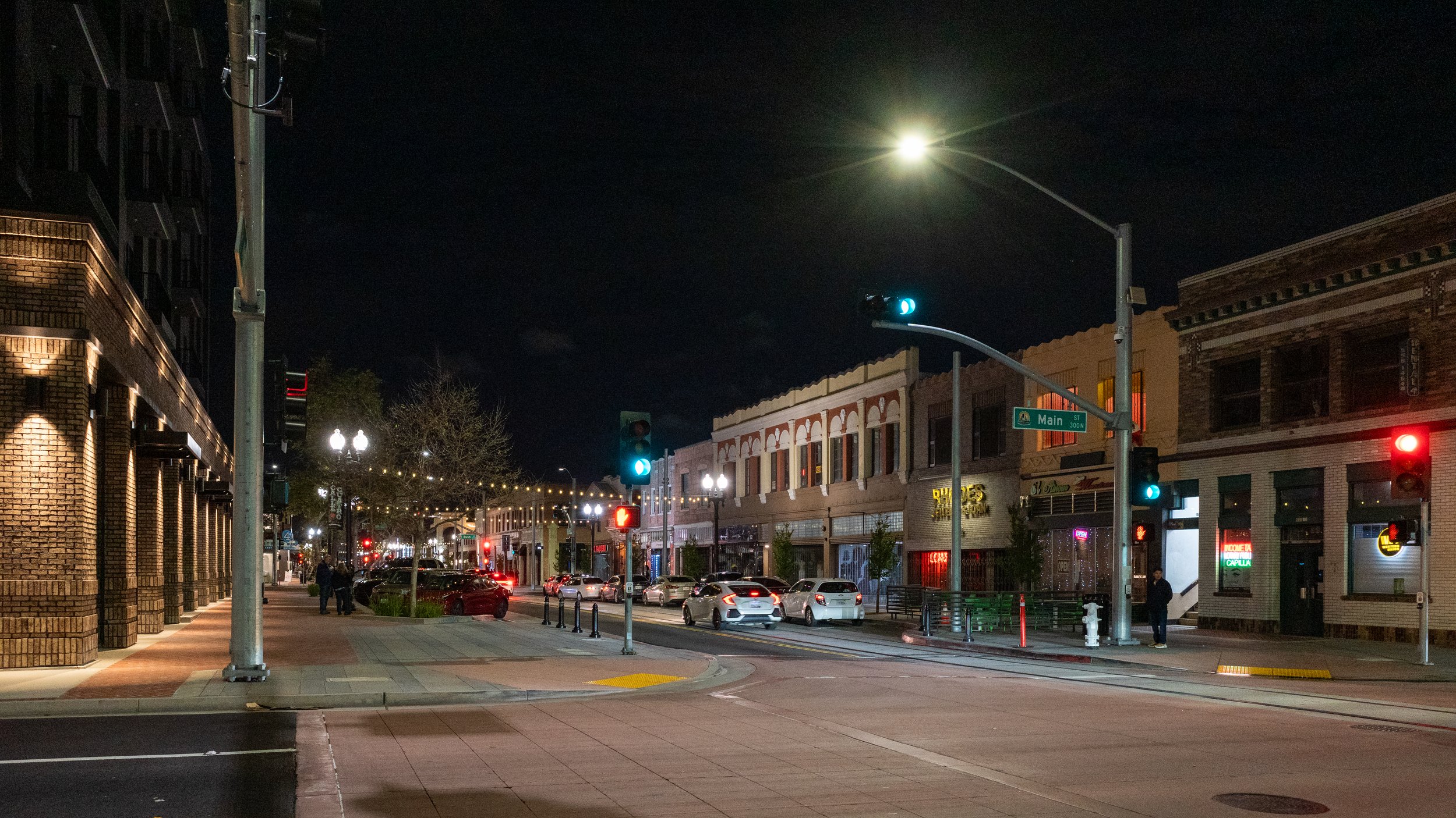
Documenting the Changing Face of Our Built Environment
I’m an avid amateur photographer and I’m fascinated by the intersection between photography and our built environment, especially historic photos of the cities and towns I’m familiar with so I can see where we’ve come from and how quickly things can change.
It’s interesting comparing the different feelings historic and contemporary photos evoke. The only real difference is the passage of time, but the feelings one feels looking at them are so much different. I am sure that people looking at those historic photos when they were new felt much the same as we do today looking at current pictures. In many ways, the subjects of photos probably weren’t that interesting since they were seen daily. It is just with time that they become interesting.
Watching the movie Lost in Translation is a great example of this. The movie still feels recent, even though it’s already more than twenty years old, but it shows a Tokyo that simply doesn’t exist anymore. All of that neon has been replaced by LEDs. There was recently a great exploration of this changing image of cities in cinema focused on Los Angeles and Hong Kong that dove into this in more detail. It focused on the changing sources of light in our cities, but it’s equally true for the city as a whole.
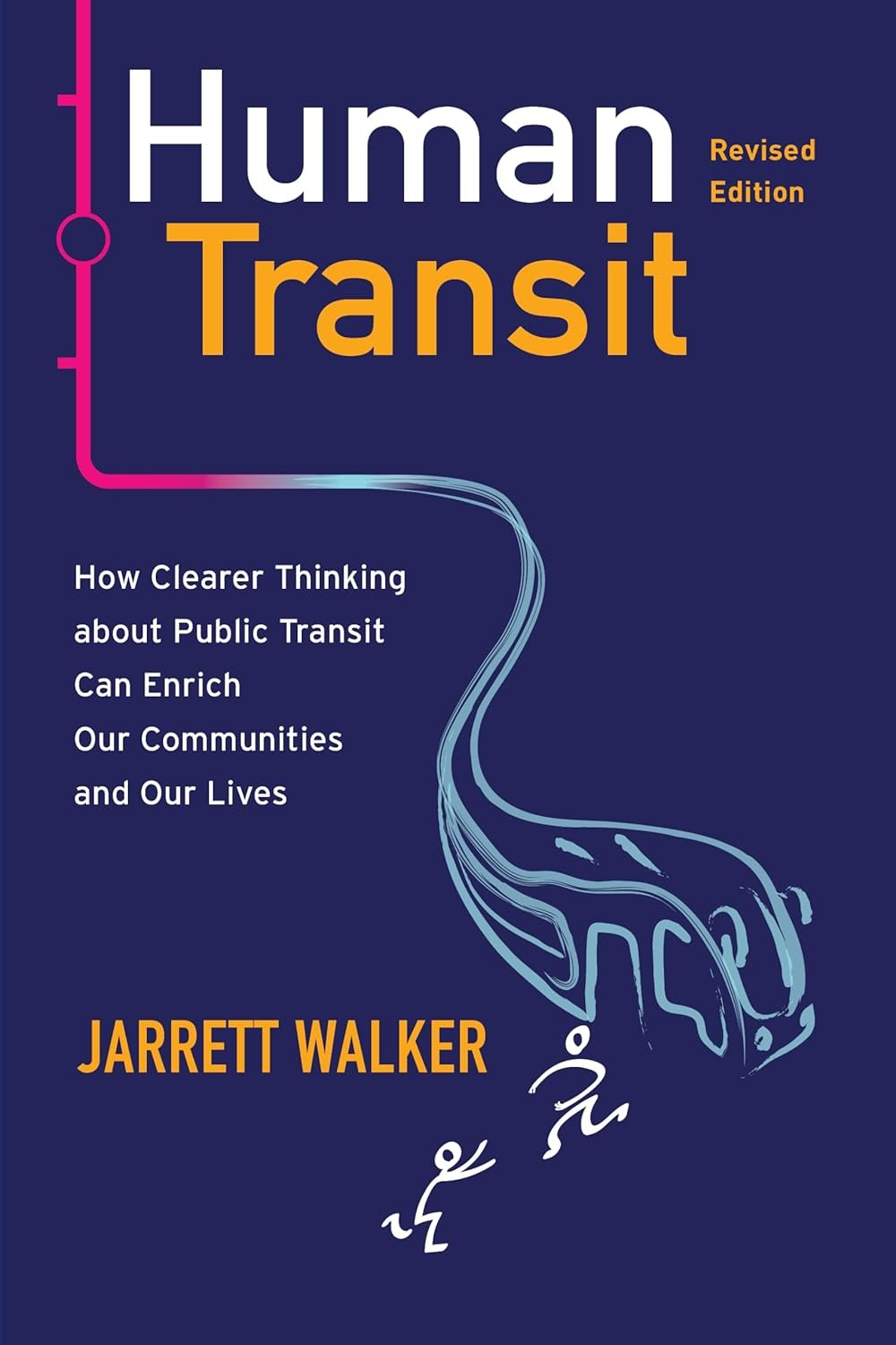
Book Review: Human Transit (Revised Edition)
For the past decade, Human Transit by Jarrett Walker has been the preeminent book for non-transit planners to understand transit planning. A revised edition of the book was released earlier this year which incorporates an additional decade of experience Jarrett has obtained as a practicing transit planner. Overall, Human Transit is the best example that I’ve found of books by consultants that walk the tightrope between advocacy and execution.
Overall, Jarrett’s framework for thinking about transit is that access is the key metric that transit agencies should be paying attention to. He defines access as “the freedom to do anything that requires leaving the home.” This focus on access, and the chapter dedicated to it, is new in the revised edition. While the rest of the book has not been substantially changed, this lens of access changes the understanding of the rest of the book even if the words did not change. It provides this idea that when designed and evaluating different transit options, transit agencies should be looking at how many people will have access to jobs and school and shopping and anything else that will take them out of the house via transit versus other modes of transportation. This is a significantly different way of evaluating transit than that which was presented in the first edition.

San Angeles’ Unique Built Environment
Whenever I leave the megacity of San Angeles, or better known as the Greater LA Area, I am struck by how unique it is. The unending expanse of built up city, from Camp Pendleton in the south up to the Angeles National Forest in the north, is unlike any human geography anywhere else in the world.
Taking the train out of Manhattan and up to Buffalo on Monday, I was amazed at how much time we spent rolling through forests and farmland. It took no time at all to get off the island and through Yonkers. From there, the landscape was dotted by towns and small cities, each one separate and distinct. These were not just distinctions based on subtle changes to the public rights of way, but true separation between where one town ends and the next begins. The same has been true in Florida and Oklahoma and Massachusetts and Washington and North Carolina. It’s even true in San Diego and the Bay Area. Southern California is the only place where every city abuts its neighbors without any separation.
So much of the discussion of urban planning, especially transportation planning, feels foreign and no applicable to San Angeles. The simple idea of connecting places with transit and high speed roads, while restricting speeds through places, makes sense in a place like upstate or western New York, but it feels completely nonsensical in Los Angeles. Any given arterial road or intersection in San Angeles is simultaneously a place and not a place. It’s a place to go, and a landscape to drive through.
