Challenges with Corridor Zoning
Corridor based development has gained significant popularity in recent years. Last year, California passed AB 2011 and AB 2097, which removed parking requirements statewide for new developments along high-quality transportation corridors and required by-right development for residential developments that include affordable housing. These efforts have been championed by Peter Calthorpe for years, and are now gaining traction. In fact, this year’s theme for CNU was The Corridor and the City.
These efforts aren’t just limited to envisioning what could be, cities are also implementing corridor-based upzoning. Anaheim adopted the Beach Blvd Specific Plan, Berkeley has the Adeline Corridor Specific Plan, and Artesia has the Artesia Boulevard Corridor Specific Plan, to name just a few.
However, these types of efforts that are limited to the parcels that front an arterial roadway will have limited success when it comes to creating a vibrant, walkable community.
Cars, Traffic & Parking
First and foremost, these types of corridors are commonly the worst type of stroad. They are high volume, high speed roadways that also have a lot of complexity, with significant numbers of driveways, pedestrians, and other complications that make for unsafe conditions at high speeds.
Simply building higher density, more intense land uses on the stroad’s edge does not make it instantly walkable and able to support a prosperous place. Instead, any corridor plan needs to address how the existing traffic volume through the corridor will be reduced and slowed. In some cases, this can be accomplished through the addition of transit systems that get people out of their cars, but only if a significant portion of the traffic has both their origination and destination along the corridor that’s served by the transit line.
The best way to address the traffic is by redesigning the roadway to lower traffic speeds and volume. This can be done by eliminating travel lanes and reducing lane widths. However, this will result in increased traffic, and will cause some drivers to divert to other routes, away from the walkable corridor. This outcome should be disclosed to all stakeholders during the planning process so there are no surprises when the corridor plan is implemented.
This increase in traffic, and the perception that existing parking will be further impacted by the increased density, creates the biggest source of opposition for this type of corridor transformation. In order to reduce people’s fears of the impending parking apocalypse caused by higher density uses, any corridor plan needs to provide a believable strategy for reducing, diverting, and eliminating car travel along the corridor.
Expanding Beyond the Corridor
The second problem with corridor-based upzoning is that despite the increased densities, often there are not enough households to support all of life’s necessities within walking distance of every home along the corridor. As explained better in The Affordable City, this means that despite the desire for these areas to embody the 15-minute city concept, in reality people will still need to get in their cars to fulfill their daily tasks.
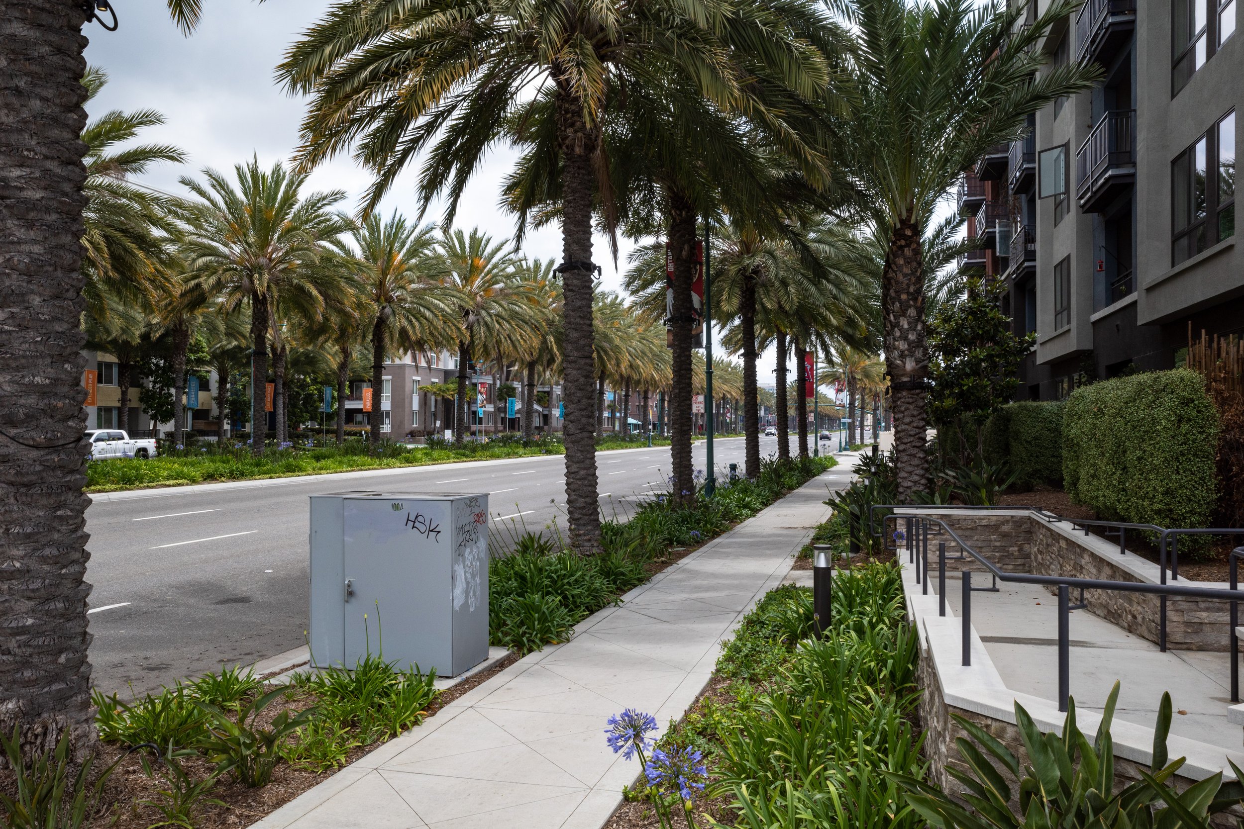
As a result, there will be greater demand for parking and there will be more traffic, just as people fear. This, in turn, results in corridors that are nothing more than high-density, auto-oriented suburbs. A great example of this type of development is the Platinum Triangle in Anaheim, where everyone needs a car despite there being sufficient density to allow for a walkable community.
This is exactly the type of development along the Lynx Blue Line in Charlotte. The parcels adjacent to the Blue Line were high density mixed use developments, but just a block away were vacant lots and abandoned buildings. The businesses in these new buildings need a lot more homes around them to survive on foot traffic alone, and the residents of these buildings still don’t have all of their daily needs taken care of within a walkable distance. The result is buildings with nine levels of parking and streets that need to accommodate all of those cars.
To fix this, cities need to expand beyond the corridor. Walkable communities need to be two dimensional, expanding not only along the axis of the corridor, but perpendicular along the side streets and adjacent parallel roads. By expanding the allowable higher densities uses, even just a block or two in either direction from the main corridor, cities can greatly expand the number of people within walking distance of everything within the corridor.
As cities move towards walkable urbanism, shifting the existing built environment to something new will be a real challenge. While it’s good that cities are embracing corridor-based zoning, they need to look at the foreseeable problems these plans will create and work to implement solutions before the plans are implemented. The biggest problem will continue to be parking and traffic until there is enough dense development, across a wide enough area, to transition the primary means of transportation away from the car.


